DIGITAL OPTICAL CADASTRAL MAPPING OF ASSETS PLATFORM - DOCMAP,
NEW DELHI
2009
__
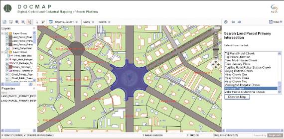
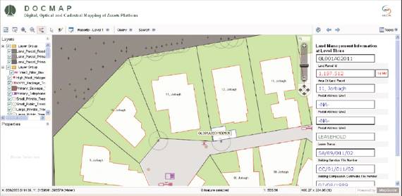
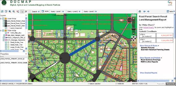
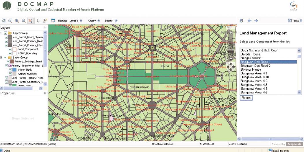
NDMC’s GIS Platform (DOCMAP) has been created to capture data for:
- Land Management
- Sanitation
- Building, Telecom
- Transportation
- Distribution-Power
- Survey Data
- Gas and Fire
- Topography
- Mains-Water Supply
- Distribution-Water Supply
- Property Tax
- Sewage
- Police and Security
- Horticulture
- Legal
- Landscape
- Land use
- Horticulture Water
- Mains-City Power
The Project uses a wide variety of technologies - including RDMS software, AutoCAD, MapGuide & Map 3D.